

Dasa G10
Bucking Software
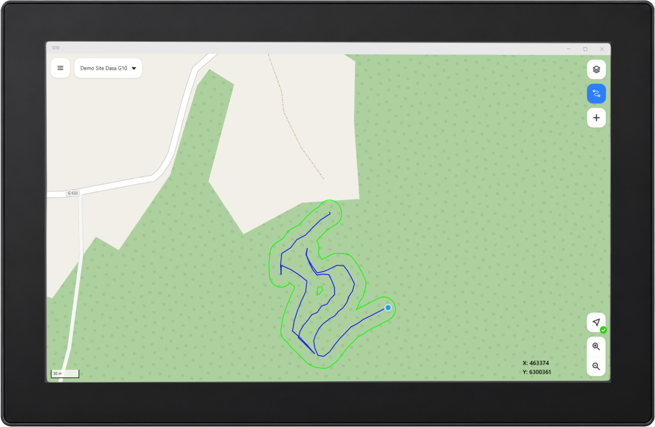
Dasa G10 is Dasa’s new mapping software for forestry machines and replaces the previous GeoInfo application. The software is developed to provide the operator with clear, modern and easy-to-use map support directly in the machine.
ABOUT Dasa G10 (9770-00)
Dasa G10 is Dasa’s next-generation mapping software, purpose-built for forestry machines. It delivers a clear, modern, and intuitive mapping experience directly in the cab—helping operators work more efficiently, make better decisions, and stay in full control at all times. With its user-friendly design and powerful functionality, Dasa G10 transforms everyday machine operation into a smoother, smarter, and more productive workflow.
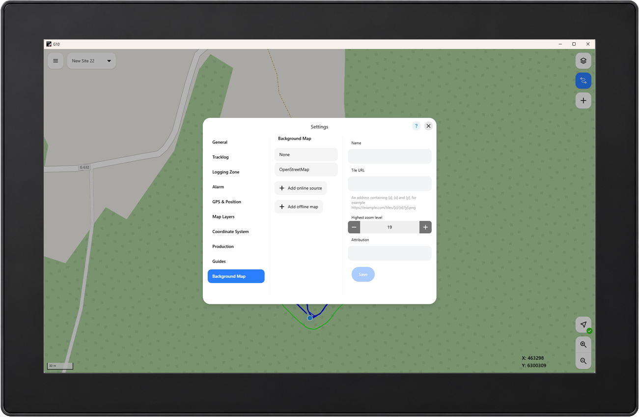
An important new feature in Dasa G10 is the built-in background map. G10 includes OpenStreetMap, which requires an internet connection and provides a clear overview of the surrounding terrain, even when the site does not include its own background map material. For greater flexibility, you can also add background maps from other compatible online services or import your own offline maps. Offline maps remain available without an internet connection, making it easier to navigate and stay oriented in areas with limited or no connectivity.
Map view and navigation
Management of sites and site packages
Import and export of site information
Track logs for work and transport
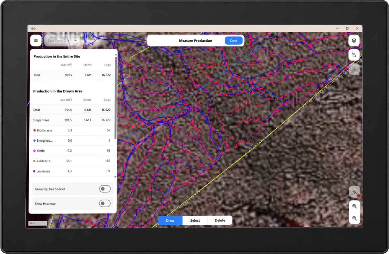
Display of production information
Management of map layers
Support for custom map objects
Measuring tools for distance and area
Online background maps – use the built-in map or connect to compatible map services.
Offline background maps – add your own maps for use without an internet connection. Supports MBTiles, GeoTIFF, and JPG or PNG images with an accompanying world file.
Installation requirements:
Software for PC dOP50C, dOP45C and dOP40C G2, Windows 11 IoT Enterprise LTSC 2024
Hardware key with valid license
Languages:
Available in 14 languages
Swedish and English is included in the software package
Import formats:
.zip with included StanForD ghd-file. (Geographic Harvesting Directives)
.tif .tiff .jpg .jpeg .shp .kml and .pdf
Production imports: .hpr and .pri
Export formats:
Zip-file